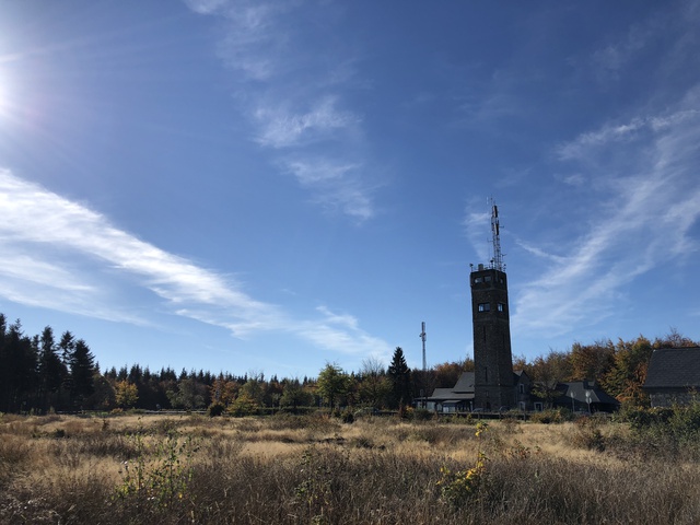
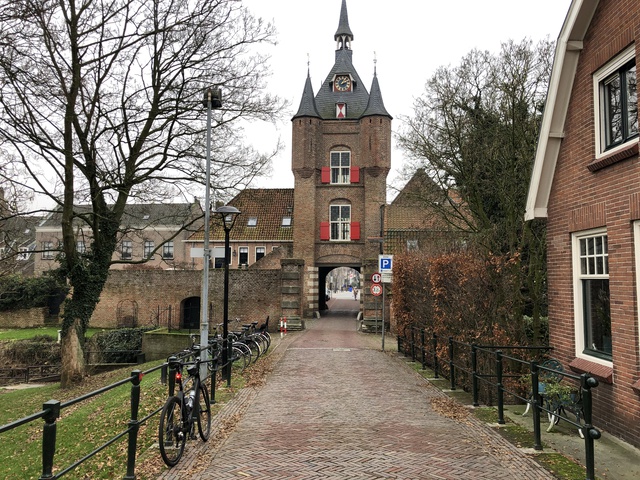
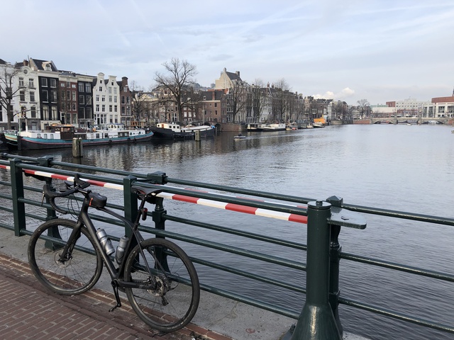
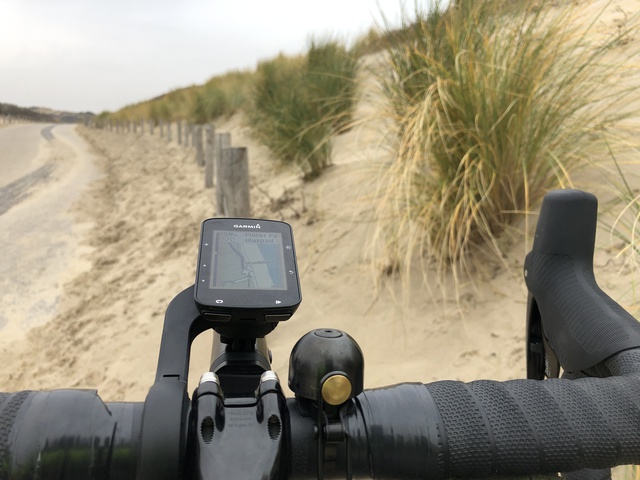
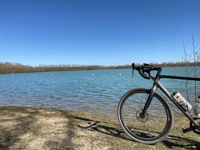
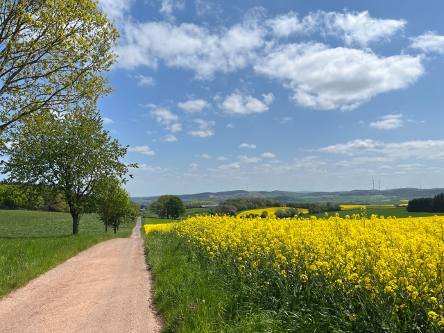
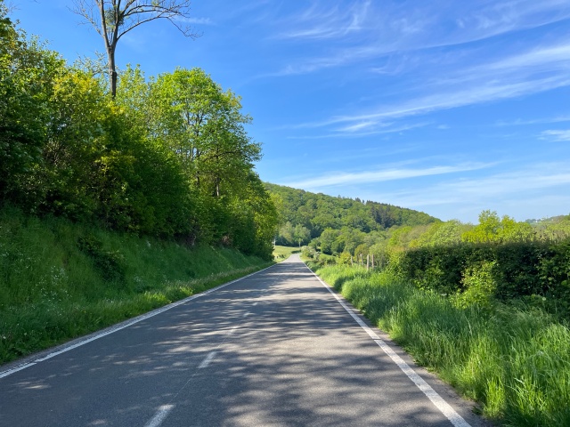
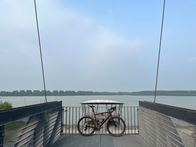
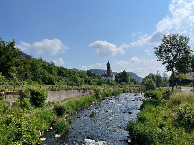
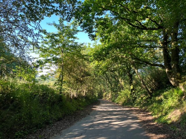
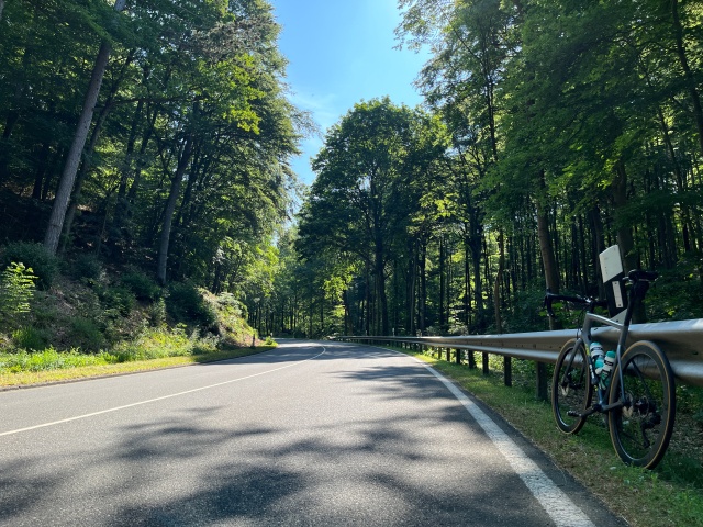
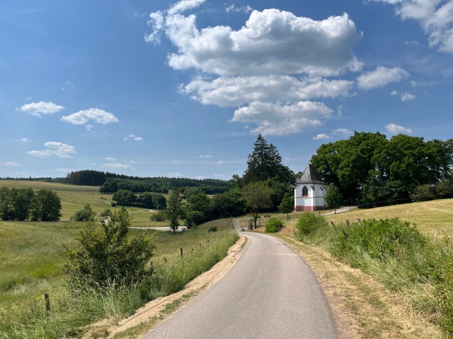
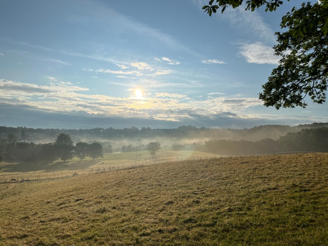
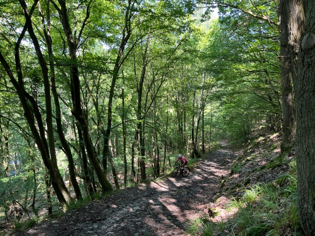
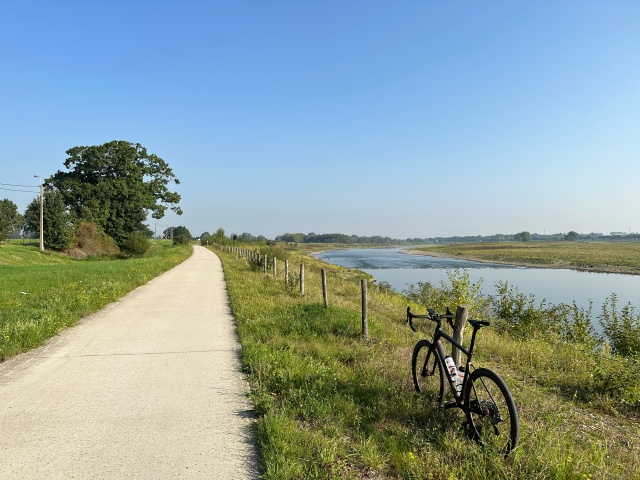
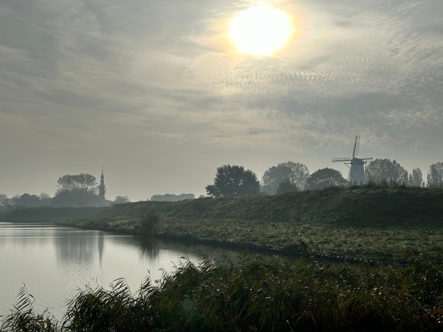
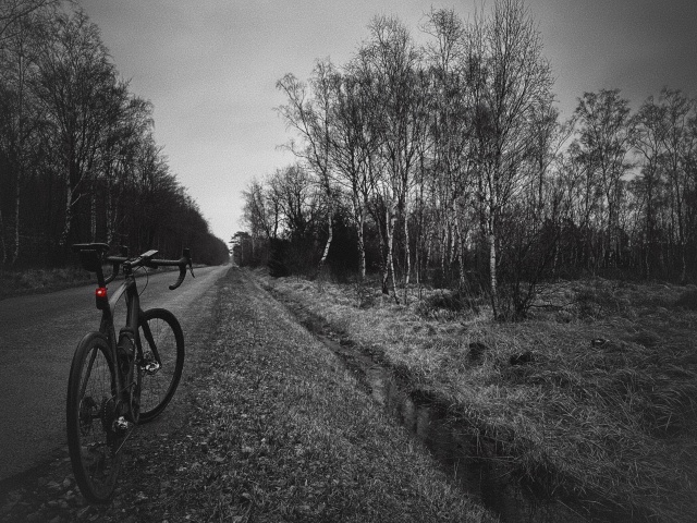
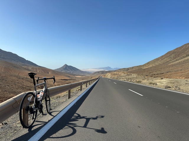
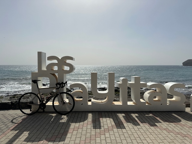
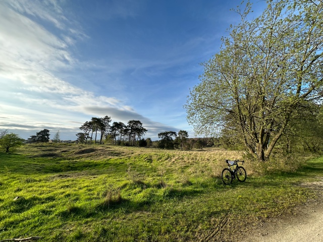
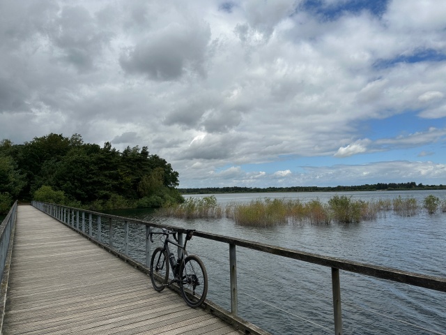
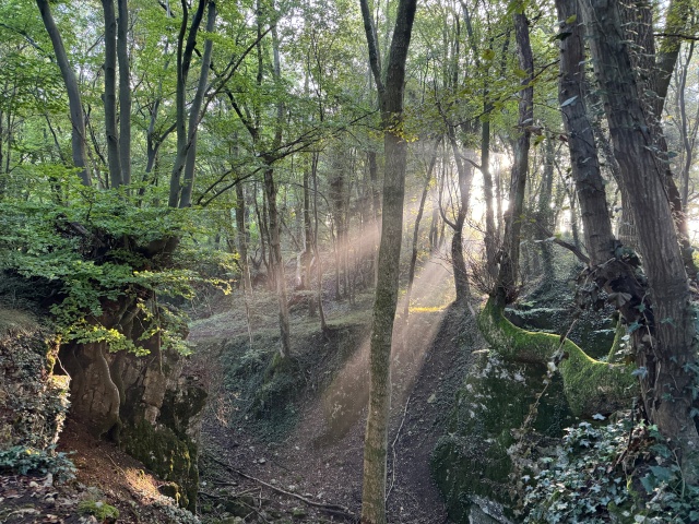
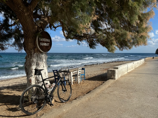
Explorer the Earth
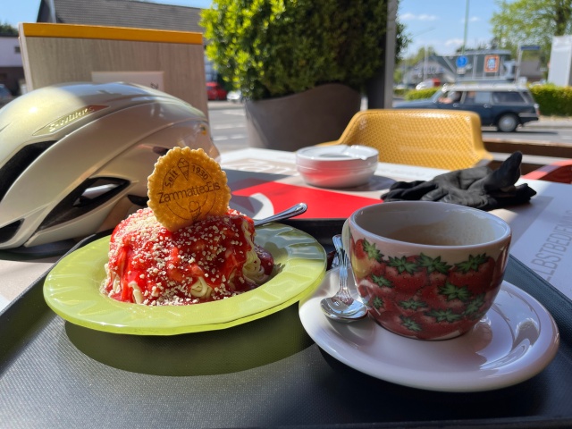
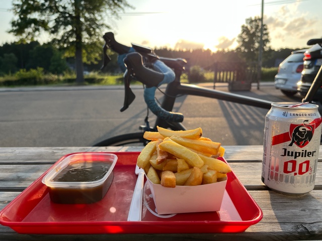
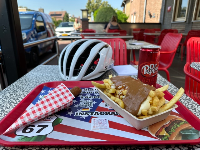
One tile at a time, including 🍟…
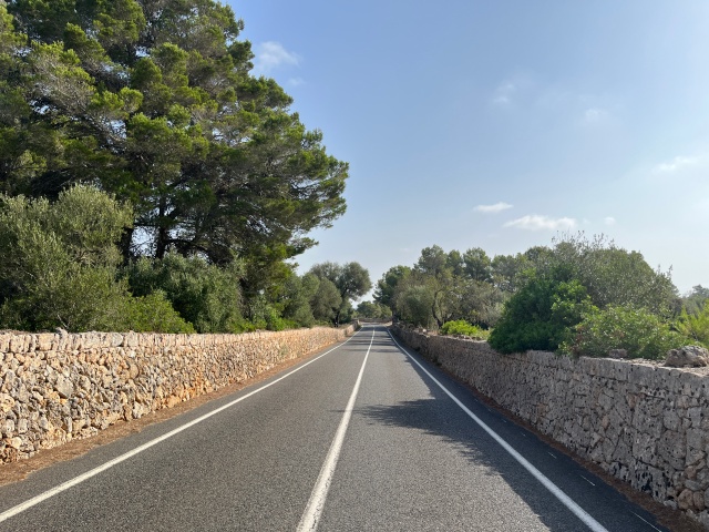
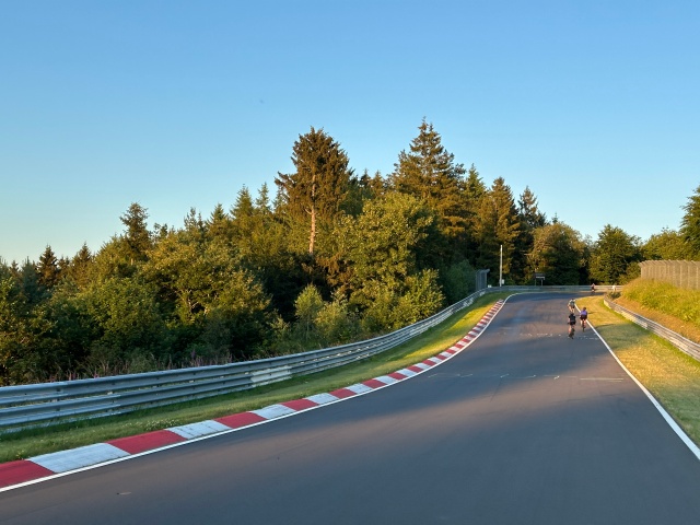
Tiles are squares on a map and when one of your activities crosses a square it is counted as a tile. If you cross the connected tile left, right, top and bottom of any tile too, that tile is counted as a cluster-tile. The max square is based on the biggest square you can create with all the connected tiles. The idea of tiles itself stems from tiled web maps. In Germany a tile at zoom level 14 has roughly an area of 1.55×1.55km.
I cycled, ran, walked and swam 11624 tiles in total, the biggest square is 43 by 43 (~7061km²) and the biggest cluster contains 2660 tiles (~9929km²) at zoom level 14. Last update to the database was on 2025-12-31.
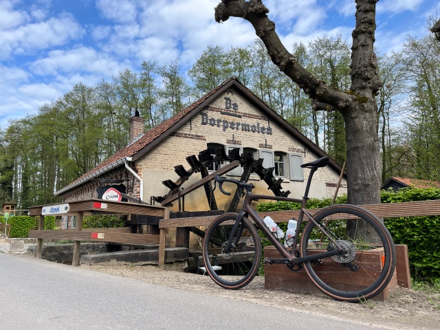
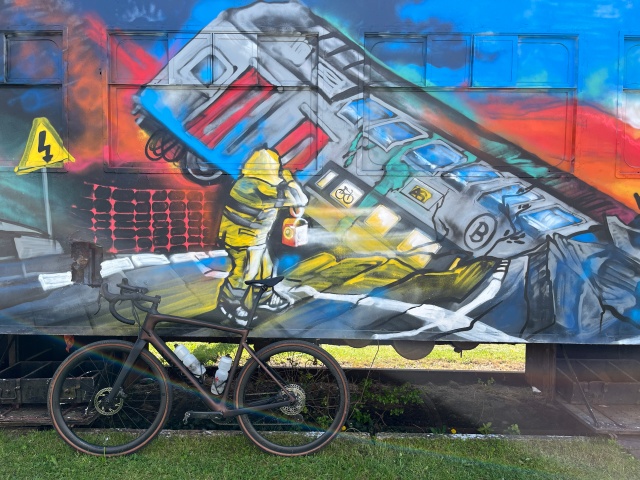
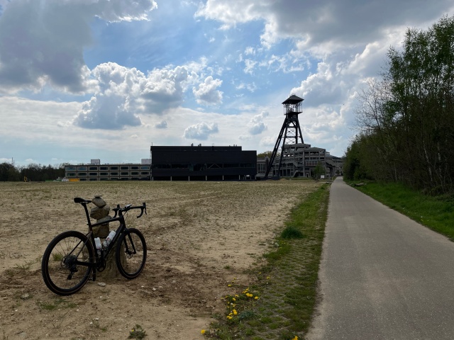
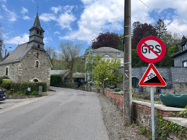
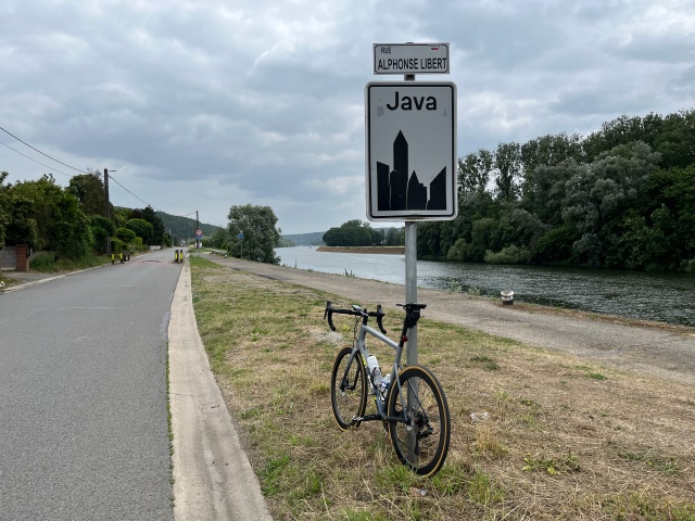
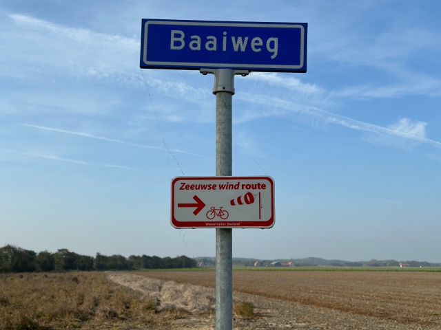
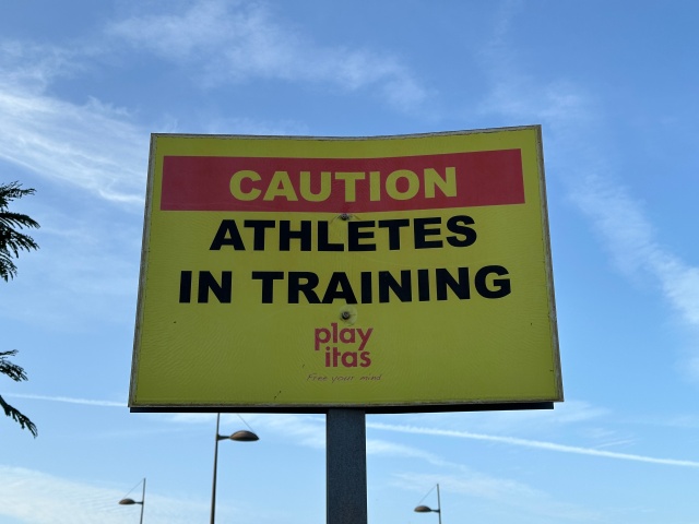
Use the layer control inside the map to display or hide fries and pictures. Icons refer to the icons of the iconic Belgium cycle routes.
- Oberösterreich
- Salzburg
- Tirol
- Bruxelles
- Vlaanderen
- Wallonie
- Bayern
- Berlin
- Brandenburg
- Bremen
- Hamburg
- Hessen
- Mecklenburg-Vorpommern
- Niedersachsen
- Nordrhein-Westfalen
- Bonn
- Borken
- Bottrop
- Coesfeld
- Dortmund
- Duisburg
- Düren
- Düsseldorf
- Ennepe-Ruhr-Kreis
- Essen
- Euskirchen
- Gütersloh
- Hamm
- Heinsberg
- Kleve
- Krefeld
- Köln
- Mettmann
- Mönchengladbach
- Mülheim an der Ruhr
- Münster
- Oberhausen
- Recklinghausen
- Rhein-Erft-Kreis
- Rhein-Kreis Neuss
- Rhein-Sieg-Kreis
- Rheinisch-Bergischer Kreis
- Steinfurt
- Städteregion Aachen
- Unna
- Viersen
- Warendorf
- Wesel
- Bonn
- Rheinland-Pfalz
- Sachsen-Anhalt
- Schleswig-Holstein
- Flevoland
- Fryslân
- Gelderland
- IJsselmeer
- Limburg
- Beek
- Beekdaelen
- Beesel
- Bergen
- Brunssum
- Echt-Susteren
- Eijsden-Margraten
- Gennep
- Gulpen-Wittem
- Heerlen
- Horst aan de Maas
- Kerkrade
- Landgraaf
- Leudal
- Maasgouw
- Maastricht
- Meerssen
- Mook en Middelaar
- Nederweert
- Peel en Maas
- Roerdalen
- Roermond
- Simpelveld
- Sittard-Geleen
- Stein
- Vaals
- Valkenburg aan de Geul
- Venlo
- Venray
- Voerendaal
- Weert
- Beek
- Noord-Brabant
- 's-Hertogenbosch
- Alphen-Chaam
- Altena
- Asten
- Baarle-Nassau
- Bergeijk
- Bergen op Zoom
- Best
- Bladel
- Boxmeer
- Boxtel
- Breda
- Cranendonck
- Cuijk
- Deurne
- Eersel
- Eindhoven
- Etten-Leur
- Geertruidenberg
- Gilze en Rijen
- Goirle
- Grave
- Heeze-Leende
- Heusden
- Hilvarenbeek
- Loon op Zand
- Mill en Sint Hubert
- Moerdijk
- Oss
- Reusel-De Mierden
- Roosendaal
- Rucphen
- Sint Anthonis
- Sint-Michielsgestel
- Someren
- Son en Breugel
- Veldhoven
- Vught
- Waalwijk
- Woensdrecht
- Zundert
- 's-Hertogenbosch
- Noord-Holland
- Overijssel
- Utrecht
- Zeeland
- Zeeuwse meren
- Zuid Hollandse Meren
- Zuid-Holland
Heavily inspired by Veloviewer, thanks for at least 4 fabulous years in which I have been a happy, paying user. Landscape and OpenCycleMap by Thunderforest. Big shout-out to brouter.de and Marcus for running this brouter.m11n.de instance, I totally love it for planning.
The list on the right contains the countries and their regions respectively administrative areas I visited. The idea comes from wandrer.earth. I used the service quite long, but in the end, I decided to build my own, as the results will otherwise just be kept in the walled garden of Strava. Turns out, that I don't need the street and road coverage that bad. am happy enough with the list of regions. I used boundaries from GADM to compute this list.